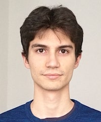
Alexandre CONSTANTIN
GAIA team in GIPSA-lab, Grenoble
https://alexandre-constantin.github.io/
Date(s) : 04/04/2022 iCal
14 h 30 min - 15 h 30 min
This work takes place in the context of the processing of the Satellite Image Time-Series (SITS) data from Sentinel-2 mission, launched in 2015 by the European Space Agency. It focuses on the classification task, i.e. land use or land cover maps that can be produced using spectro-tempora
The main difficulty is the acquisition noise (clouds, shadows) combined with the orbital path of the satellites resulting in irregular and unevenly sampled time-series. Conventional approaches re-sample time-series to a set of time stamps, then they use machine learning techniques to classify vectors at a large-scale (national scale). The main disadvantage of this two-step processing approach is that it increases the number of operations applied to the SITS, implying a more difficult transition to massive amount of data. To a lower extent, the re-sampling step may slightly alter the temporal characteristics of the data.
To tackle this concern, we introduce a novel model-based approach with the ability to classify irregularly sampled time-series based on a mixture of multivariate Gaussian processes using spectral and temporal information from SITS thanks to a Kronecker structure of the covariance operator of the Gaussian process. The model allows jointly the imputation of missing values and is scalable to large-scale data-sets. It is evaluated numerically on simulated data-sets to illustrate the importance of taking into account spectral correla
Catégories

